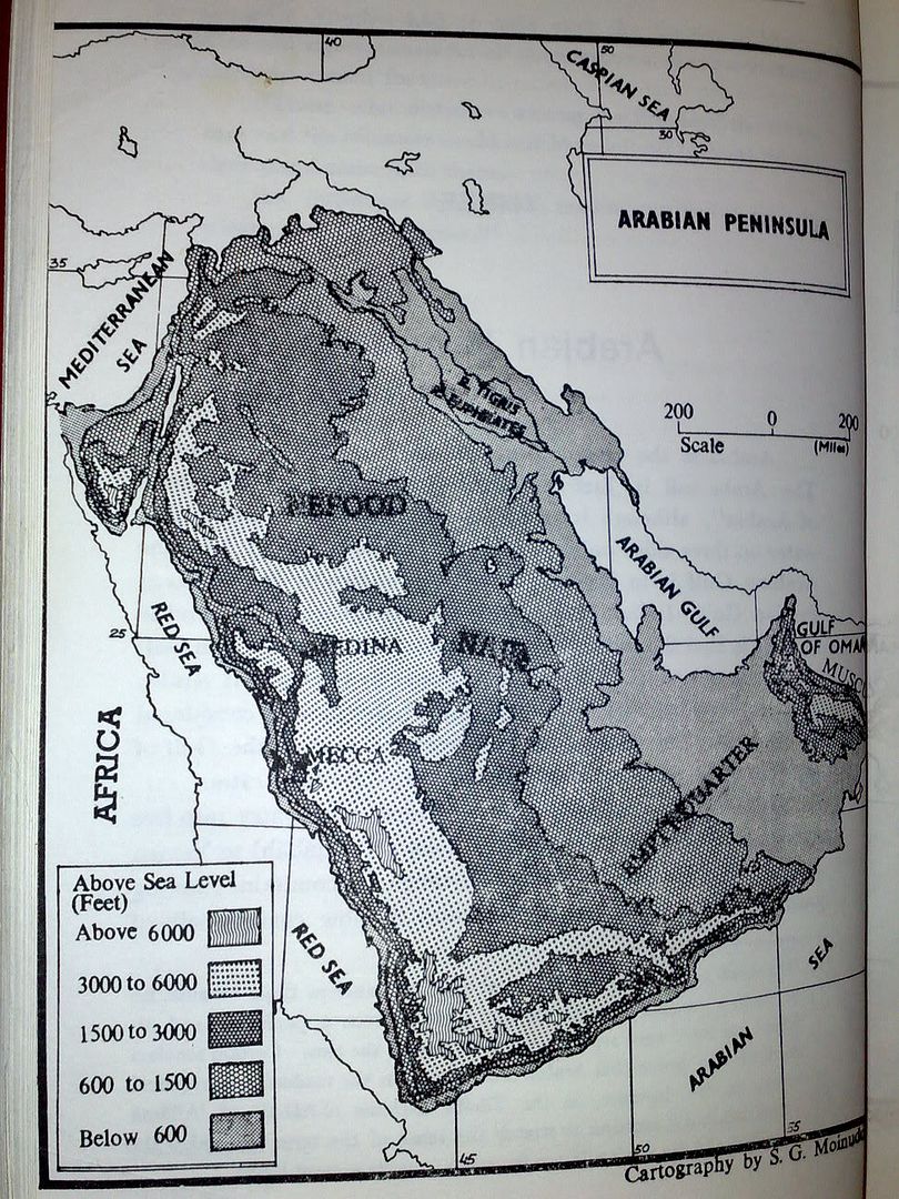
Maps of pre islamic arabia from the book, Muhammadur Rasulullah by Abul Hasan Nadwi; [sorry they're not in colour]
Map of the Arabian Peninsula then (its probably the same today and not much changes [generally])
| Click this bar to view the full image. |
http://i256.photobucket.com/albums/h...ulhassanna.jpg
p.52
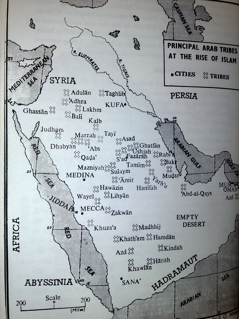
This is a map of the tribes and where they were located at during the life of Allah's Messenger;
| Click this bar to view the full image. |
http://i256.photobucket.com/albums/h...ulhasannad.jpg
p.54.
| Click this bar to view the full image. |
http://i256.photobucket.com/albums/h...eed2kx/018.jpg __________________
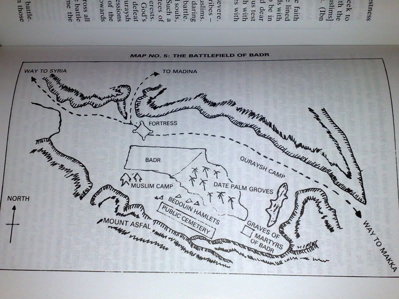
Map of Location of Badr
| Click this bar to view the full image. |
http://i256.photobucket.com/albums/h...d2kx/022-1.jpg
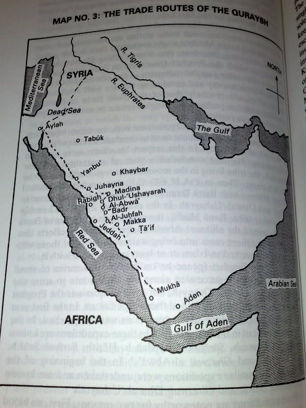
these later maps are from the translation of Tahfeem al Qur'an by Maududi, translated by Zayd Ansari.
No comments:
Post a Comment